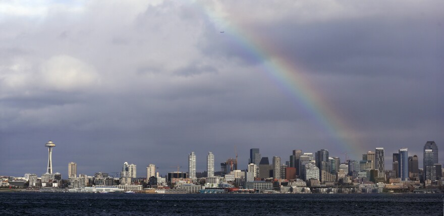
Hang in there if the dreary weather in western Washington has been getting you down. It will be wet and cool again this weekend. But then a system of high pressure sets up and KNKX weather expert Cliff Mass expects a major shift in the weather for a least a week.
“I cannot believe my eyes. I look at the weather forecast out the next few weeks and the spigot is going to turn off. I mean, not for a day, but for a week or even more,” said Mass.
Weekend Starts Rainy
On Friday, Mass says there will be plenty of rain later in the day, courtesy of a front that was passing through the Olympics in the morning and was expected to hit the Puget Sound sometime late afternoon. He says the Sound region can expect to start with some clouds and possible sun breaks in the morning, but then the clouds will thicken as the day goes on.
“And it’s going to be raining around dinnertime or right before dinnertime,” Mass said.
Then the front will move through, providing a break in the rain overnight, Mass says. But on Saturday, another system is coming in.
“A weak system, it’s mostly going to the south, but there will be rain and clouds over Seattle,” he said. “And that includes the mountains as well.”
He says temperatures will only get up into the mid- and upper-40s.
Drier Sunday
On Sunday, the dynamics shift and, “it starts getting interesting.” Around breakfast time, Mass says the precipitation will start to die down rapidly.
“And by noon, I think the rain is going to be over,” he said.
Then he says a ridge of high pressure will start building over the eastern Pacific. This will keep the weather mostly dry on Sunday and set up a remarkable situation in the week ahead.
‘Godzilla Ridge’ Could Mean 10-day Dry Spell
“During the week, this ridge is going to go crazy. This is like a Godzilla ridge,” Mass said.
“It’s going to build up in the eastern Pacific, and we are going to dry out. And quite frankly, I don’t think it’s going to rain for ten days here in Seattle. In early December, it’s just amazing!”
He says the ridge will hold. The only question is how much low clouds form, which depends on the precise location of the pressure system as it sets up. Mass says there’s a risk of fog and stratus layers blocking out some of the sun.
“That might ruin the party a bit,” Mass said. “But it’s going to be dry, there’s going to be sun. The question is how much low clouds will form as the ridge builds in.”
To hear the full conversation, including a discussion of how a ridge of high pressure can bring sun and warmth or fog and low clouds to the region, you can click on the 'play' icon at the top of this post.
Weather with Cliff Mass airs at 9:02 a.m. Friday, right after BirdNote, and twice on Friday afternoons during All Things Considered. The feature is hosted by KNKX environment reporter Bellamy Pailthorp. Cliff Mass is a University of Washington professor of atmospheric sciences, a renowned Seattle weather prognosticator, and a popular weather blogger. You can also subscribe to podcasts of Weather with Cliff Mass shows, via iTunes or Google Play.


